Soundings, plotted, never contoured
A depth contour is not a measurement. It is a line drawn between two soundings by somebody who was not there.
A hydrographic survey produces two things. A coastline, which is observed, and a set of soundings, which are measured — a depth, at a position, at a moment, reduced to chart datum. It does not produce contours. Contours are added afterwards, by interpolating between soundings that may be sixty metres apart over ground that changes in six. On a sand bar that interpolation is the difference between a passage and a grounding.
So the plates here draw one stroke each — the coast — and put every depth on the sheet as a figure. Plain figures are metres below chart datum. Underlined figures are drying heights: ground that stands above chart datum and uncovers, which is the chart convention and is the only piece of notation on the sheet.
| Sheet | Station | Soundings | Drying | Deepest, m | Line spacing | Contours |
|---|---|---|---|---|---|---|
| HR/1 | Halberry Roads | 175 | 7 | 23.6 | 58 | 0 |
| SB/3 | Skellow Bar | 229 | 16 | 20.9 | 52 | 0 |
| NR/2 | Nethermill Reach | 265 | 37 | 12.1 | 46 | 0 |
| CS/1 | Cargreave Sound | 150 | 3 | 71.5 | 64 | 0 |
| OH/4 | Ossett Head | 206 | 4 | 48.8 | 55 | 0 |
| FN/1 | Feltwater Ness | 166 | 31 | 8.0 | 60 | 0 |
| BD/1 | Brindley Dock | 340 | 0 | 6.4 | 44 | 0 |
| Total | 7 sheets | 1531 | 98 | — | — | 0 |
The eighth station has no sheet
Marnhead Test Gauge is not a place. There is nothing there to survey, so there is no plate for it, and the gap in the wall is the honest entry. A sheet drawn for it would have been the only invented drawing in the set.
Said plainly: this seabed is a worked model
Wrackline is sold as a template and these eight stations are fiction. The coastlines and the 1531 depth figures on these sheets come out of a deterministic function in data/surveys.mjs — not out of a survey vessel. There is no random number generator in it, so the plates redraw byte for byte, and that is the point: they can be checked. They are drawings and they are not bathymetric records, and replacing them with your own survey is the first thing this template asks of a buyer. A page that captioned them otherwise would be selling a liability with the design.
All 7 sheets
-
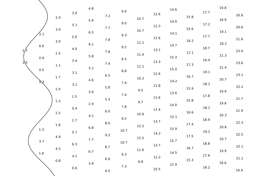
HR/1 · Halberry Roads · 175 soundings · 7 drying · 0 contours
-
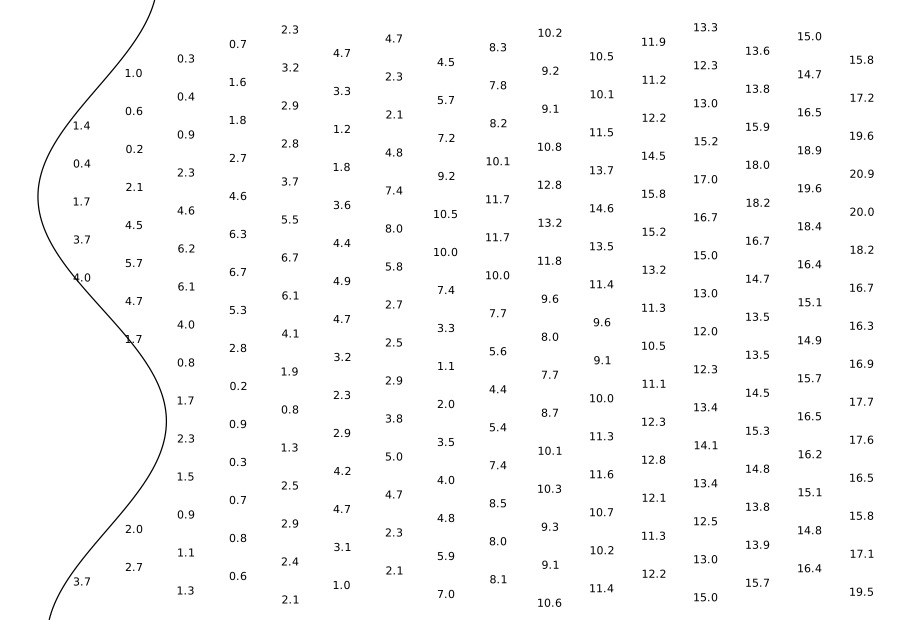
SB/3 · Skellow Bar · 229 soundings · 16 drying · 0 contours
-
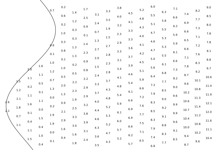
NR/2 · Nethermill Reach · 265 soundings · 37 drying · 0 contours
-
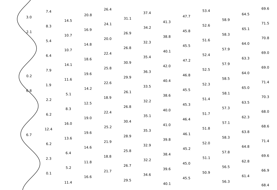
CS/1 · Cargreave Sound · 150 soundings · 3 drying · 0 contours
-
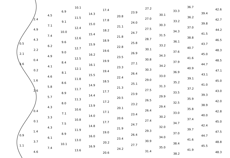
OH/4 · Ossett Head · 206 soundings · 4 drying · 0 contours
-
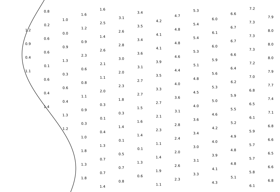
FN/1 · Feltwater Ness · 166 soundings · 31 drying · 0 contours
-
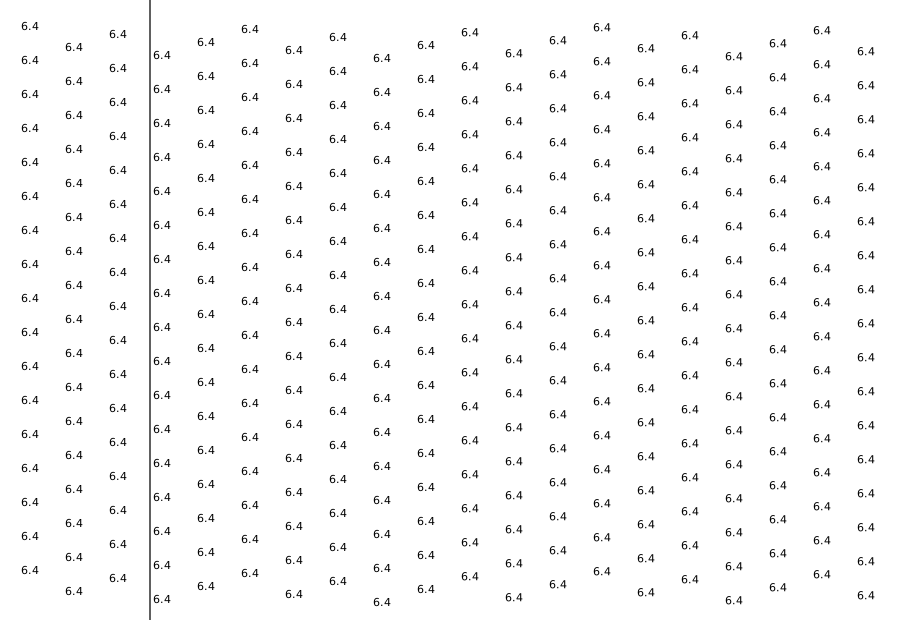
BD/1 · Brindley Dock · 340 soundings · 0 drying · 0 contours
Wrackline is an aid to planning and is not a substitute for an official tide table. Do not navigate on it.