Headland coast · Rocky headland
Ossett Head
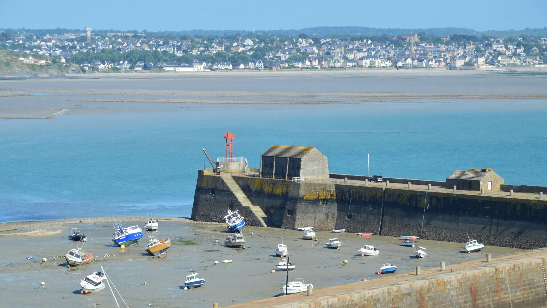
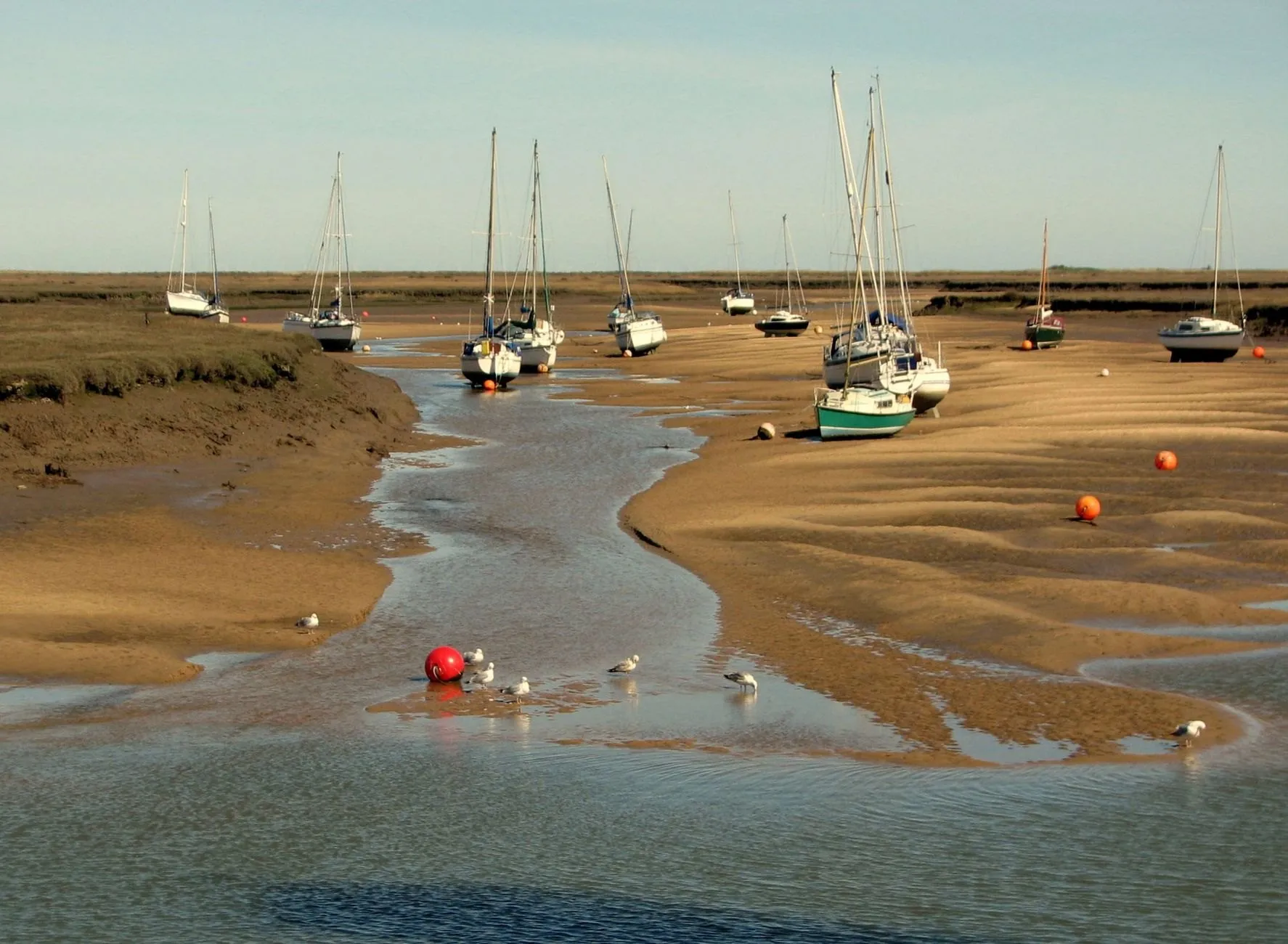
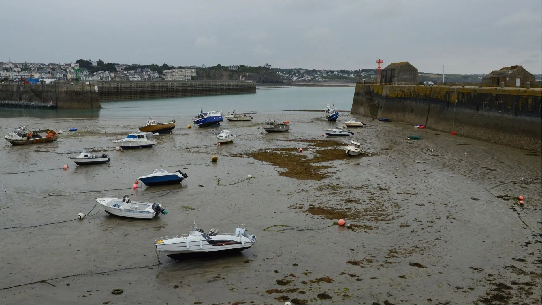
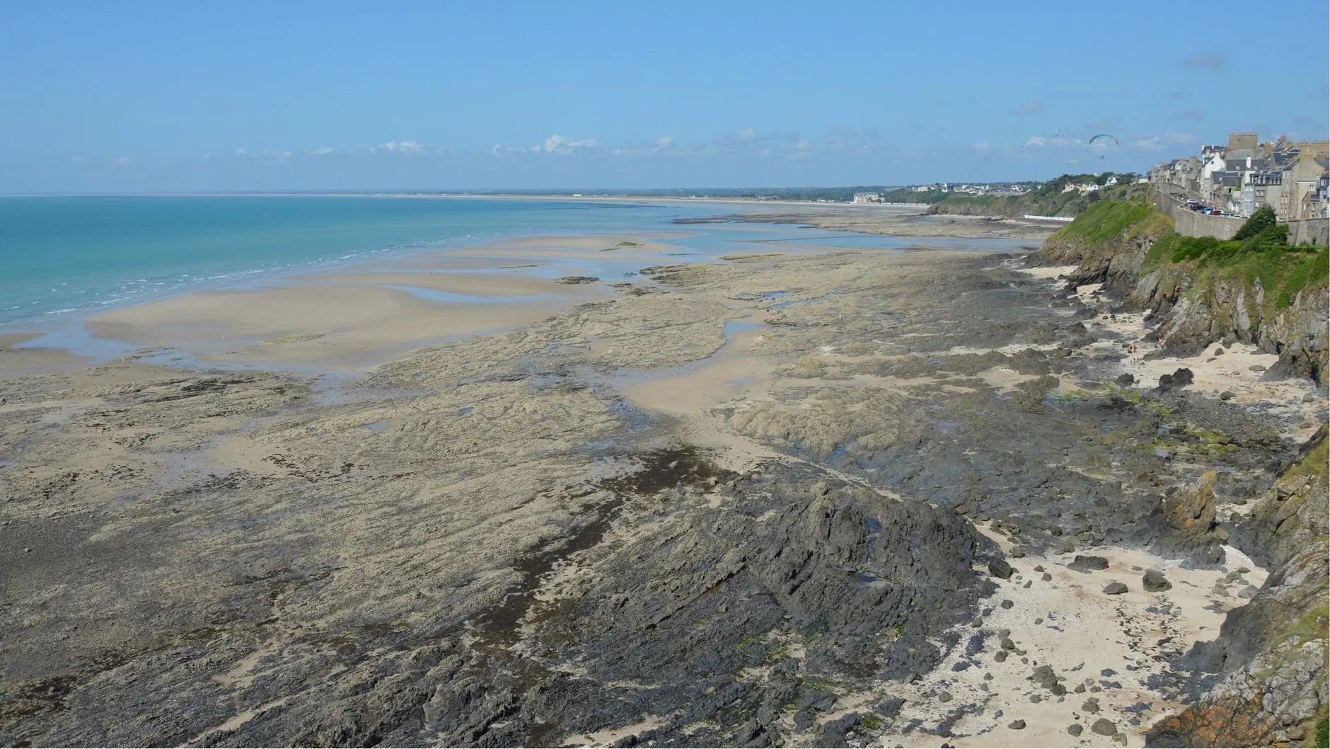
The plain case. A steady twice-a-day tide off a rocky headland, with miles of reef and pools uncovering at low springs.
Good for walkersGood for anglersGood for surfers
- Spring range
- 4.3 m
- Neap range
- 2.1 m
- High water springs
- 5.1 m
- Tide type
- Semidiurnal
Today at Ossett Head
Ossett Head
Sunday 4 October
Heights in metres above chart datum
- Low water00:381.3 m
- High water06:464.6 m
- Low water13:151.4 m
- High water19:114.6 m
The next seven days
| Day | High water | Low water |
|---|---|---|
| Sun 4 Oct | 06:46 4.6 m19:11 4.6 m | 00:38 1.3 m13:15 1.4 m |
| Mon 5 Oct | 07:49 4.8 m20:12 4.7 m | 01:42 1.2 m14:16 1.3 m |
| Tue 6 Oct | 08:46 4.9 m21:06 4.9 m | 02:40 1.0 m15:10 1.1 m |
| Wed 7 Oct | 09:38 5.1 m21:56 5.0 m | 03:32 0.8 m16:00 1.0 m |
| Thu 8 Oct | 10:25 5.2 m22:43 5.1 m | 04:20 0.7 m16:46 0.9 m |
| Fri 9 Oct | 11:09 5.2 m23:27 5.1 m | 05:06 0.7 m17:29 0.8 m |
| Sat 10 Oct | 11:52 5.1 m | 05:49 0.7 m18:12 0.9 m |
The free app shows today and tomorrow. Pro (£18 a year) shows 365 days ahead, with alerts.
About the tide here
Ossett Head is our home port, and the closest thing on this coast to a textbook tide: twice a day, nearly symmetrical, and very little that the moon and sun do not explain. It is the port to learn on.
At low springs the sea draws back off a wide rocky platform below the cliffs, uncovering pools, gullies and the reef ends that anglers fish on the first of the flood. It comes back quickly across the flat rock, faster than it looks from the top of the path. That is where the “turn back by” time earns its place.
The harbour office on the quay is where the app is made, and where the duty phone is answered from six in the morning until ten at night.
Port facts
- Reef uncovers
- Below about 1.2 m, on most spring lows
- Nearest help
- Lifeboat station at the harbour, 1 mile north
- Gauge
- Harbour office wall, since 2019
Carry Ossett Head in your pocket
Save it as your home port and get an alert before the water turns.