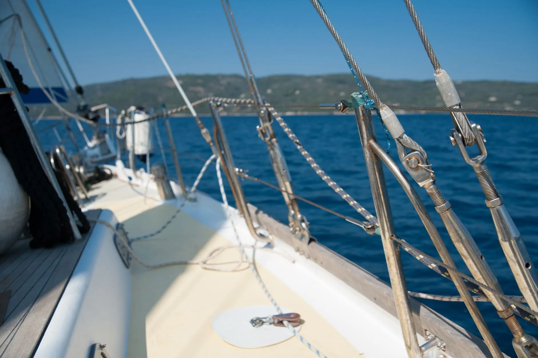
For sailors
Plan a passage around the tide
- Window finder for any drying height
- Hours of flood and ebb, marked on the curve
- Surge watch when a low is sitting on the coast
Version 4.6: surge watch is here
Wrackline shows the height of the water, minute by minute, for the stretch of coast you use. It works with no signal, needs no account, and tells you when the weather will throw it off.
Works with no signal
Predictions are computed on your phone. A dead zone on the cliff path changes nothing.
No account, no tracking
Open it and it works. Nothing about where you go leaves the device.
Accuracy published per port
Every port page shows how far the prediction was off last year. Good days and bad ones.
Try Pro free for 14 days
Cancel in two taps from your store account. You are never charged during the trial.
Try it here
This is the chart the app draws, computed in your browser for today. The lime line is now.
Halberry Roads
Sunday 4 October
Heights in metres above chart datum
Four ways to read a tide
Same prediction, four questions. Wrackline answers the one you are asking.
For sailors
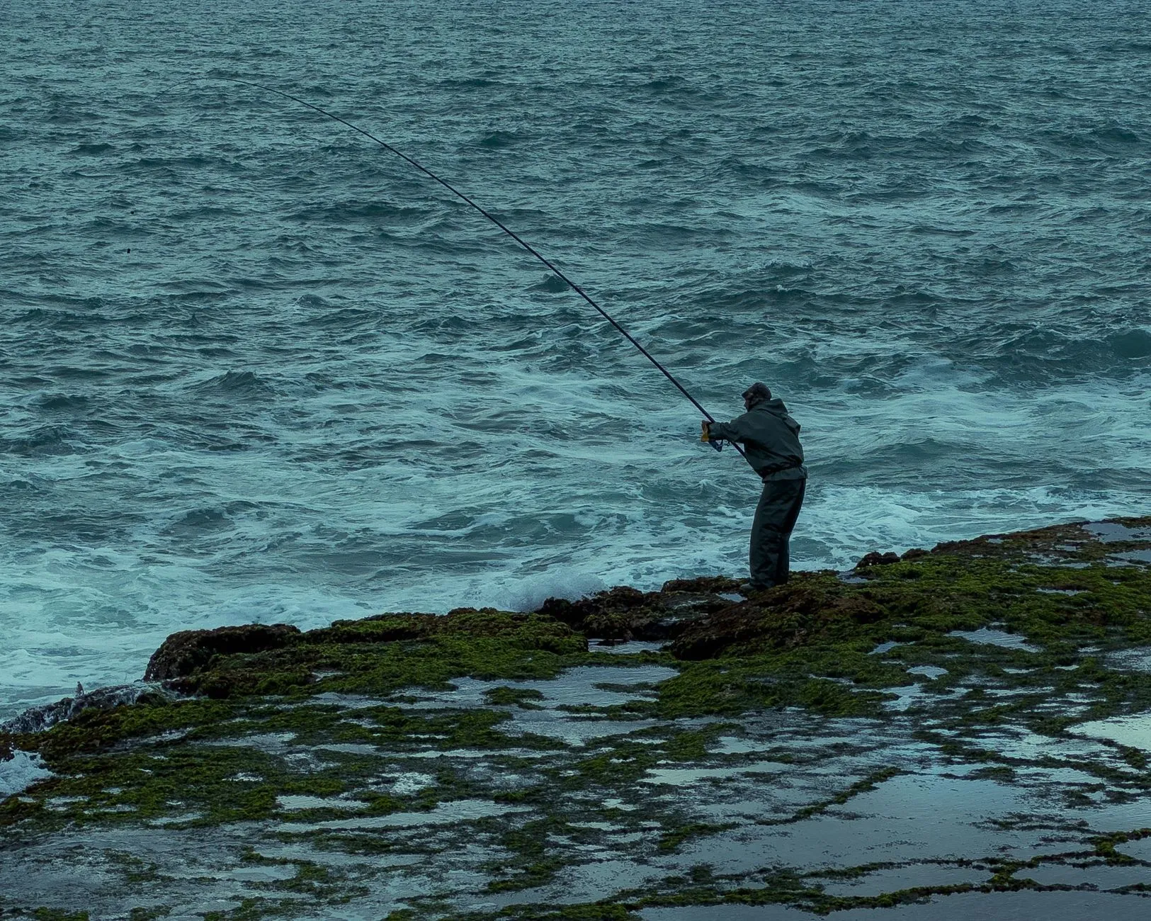
For anglers
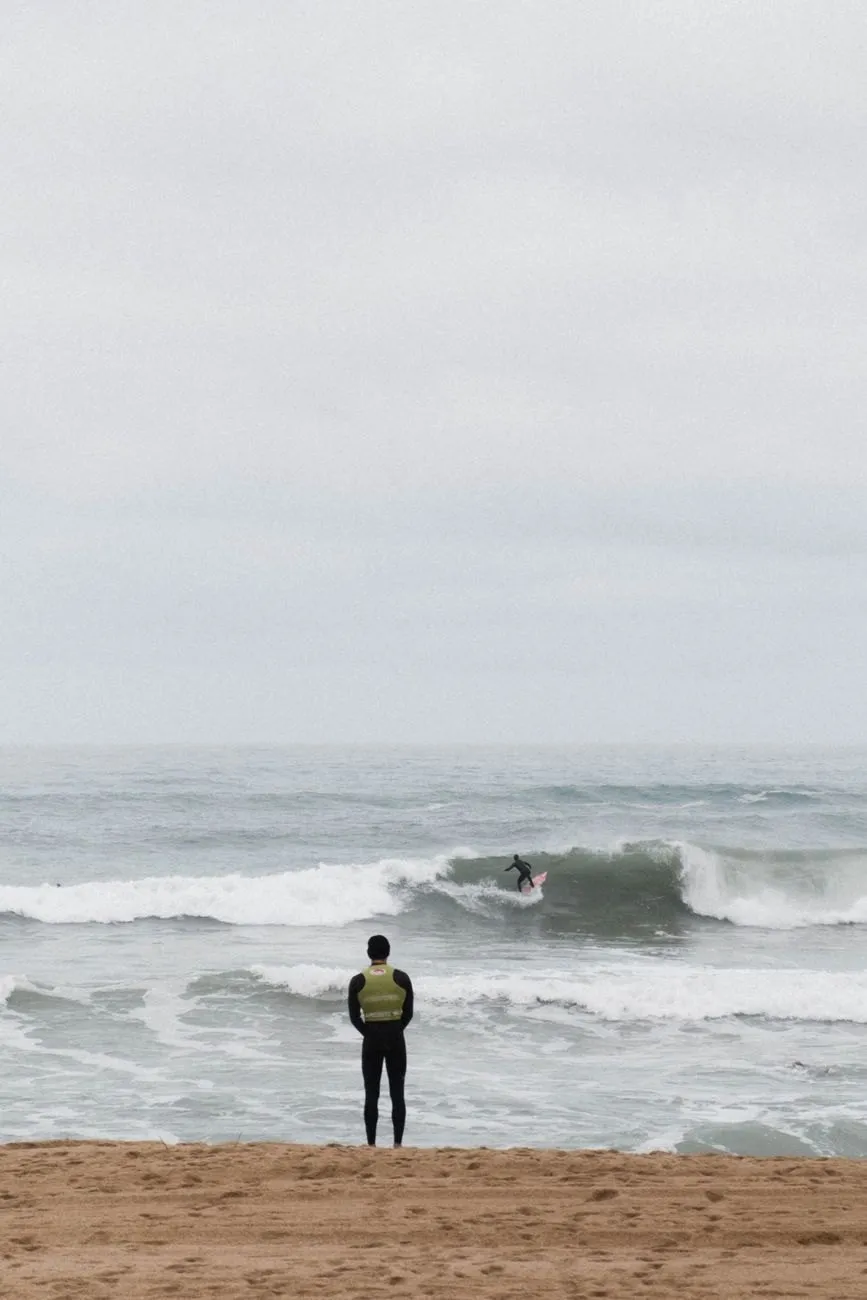
For surfers
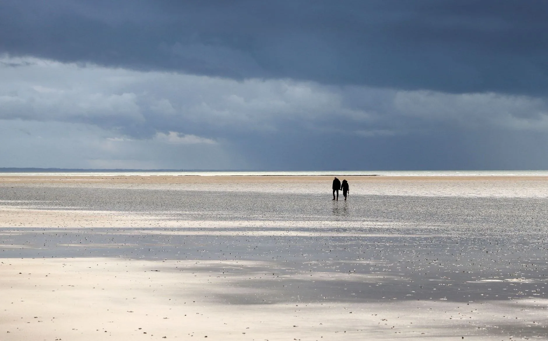
For walkers
Ports
Six reference ports, each with its own page: the curve, the week ahead, and last year’s error in centimetres.
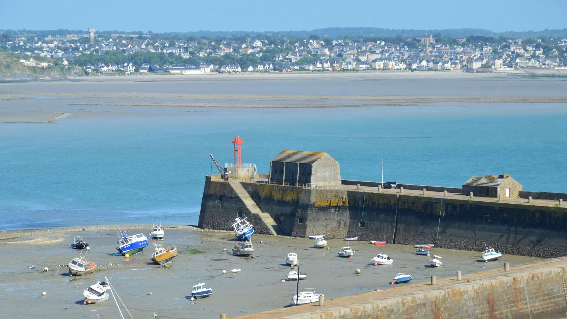
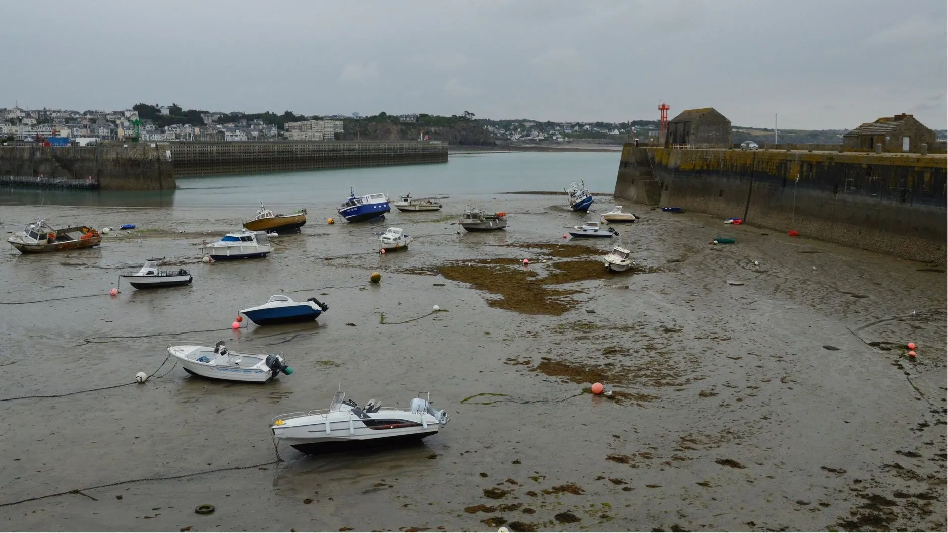
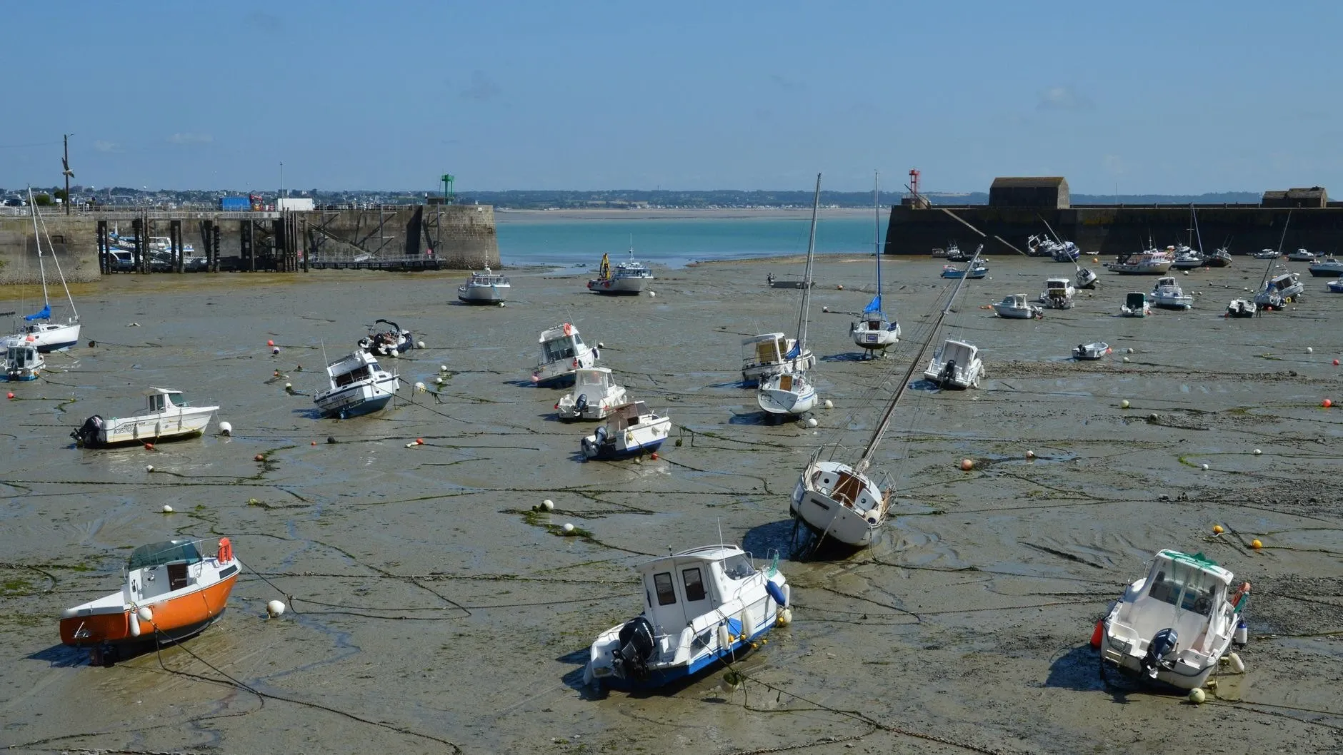
Walled harbour, open coast
Barred entrance
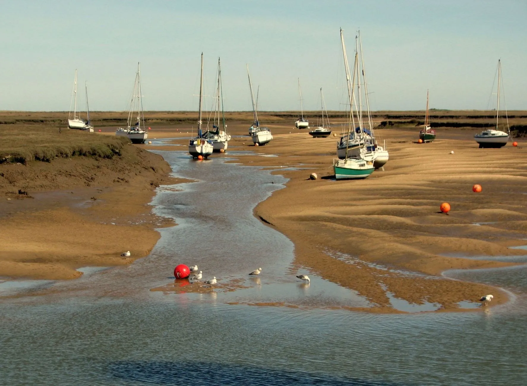
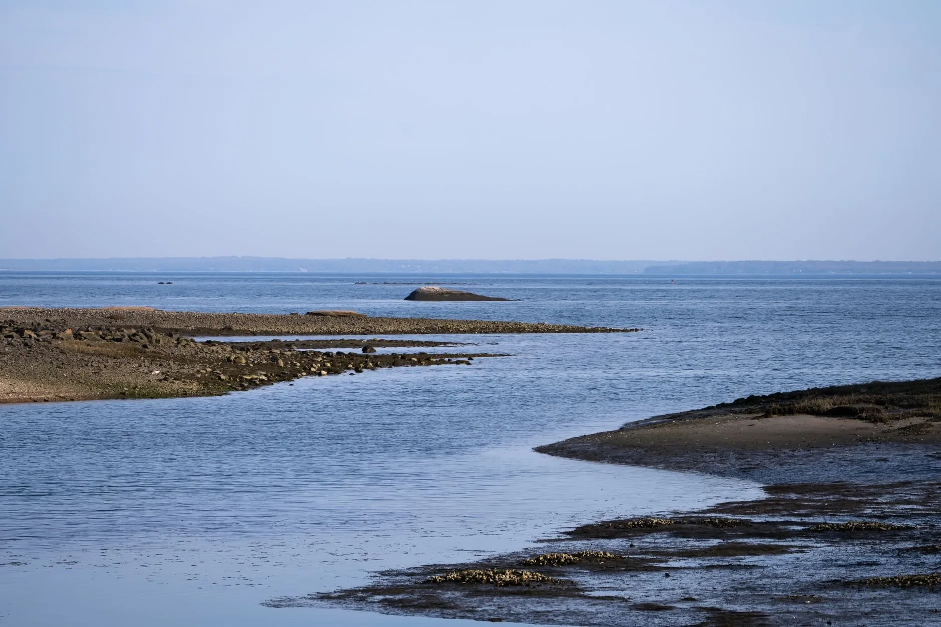
Estuary basin on soft mud
Deep sound, mixed tide
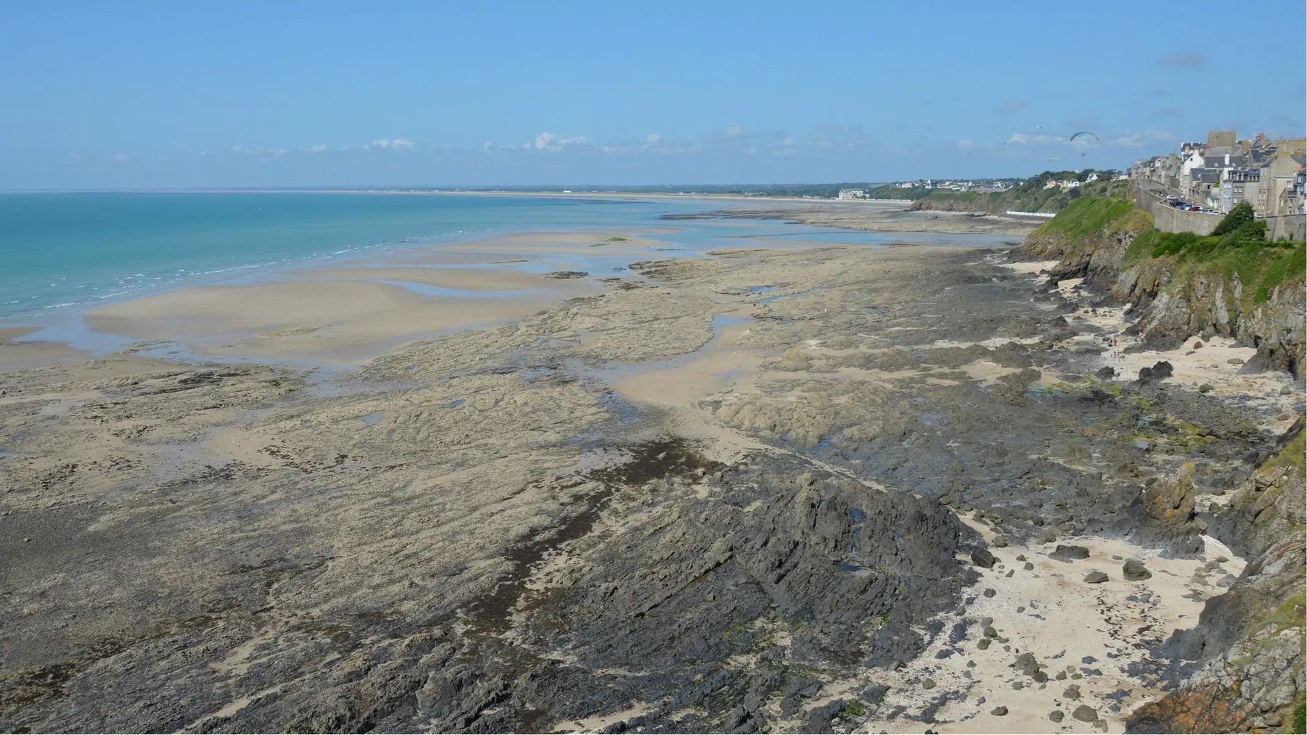
Rocky headland
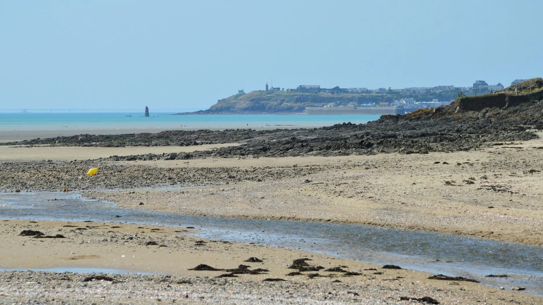
Sand flats, small range
Accuracy
Usually a hand’s width. Sometimes a metre, when the weather leans on the sea. We publish both numbers for every port, and flag the days it will happen.
How it works
A year of gauge readings becomes eight numbers per port. Your phone does the rest.
Measured
A tide gauge logs the water level at the port every six minutes for at least a full year.
Solved
That record is broken into eight harmonic constituents: the moon, the sun, and the shape of the coast.

Checked
Each port is re-checked against the gauge every year, and the error is published on its page.
Carried offline
The constants ship inside the app, so your phone computes any day of the year with no signal.
Pricing
No adverts in either. Pro starts with a 14-day free trial and cancels in two taps.
£0forever
Today and tomorrow at any port. Enough for a walk or a quick launch.
£18a year, billed once
£2.99a month, cancel any time
The whole year ahead, offline, with alerts that wake you before the water turns.
Club licence: Pro for up to 40 members of a sailing club, angling club or surf school, on one invoice. £210 a year. Ask about a club licence
| What you get | Free | Pro |
|---|---|---|
| High and low water times and heights | Today and tomorrow | 365 days ahead |
| Tide curve with a live "now" marker | Included | Included |
| Sunrise, sunset and moon phase | Included | Included |
| Saved ports | 1 | Unlimited |
| Works with no signal Every prediction is computed on the phone | Included | Included |
| Tide alerts For example, 90 minutes before low water | Not included | Included |
| Window finder When is there 1.8 m over the bar? | Not included | Included |
| Surge watch Flags days when pressure and wind will move the water | Not included | Included |
| Home-screen and lock-screen widgets | Not included | Included |
| Printable tide tables and calendar export | Not included | Included |
| Adverts | None, ever | None, ever |
Reviews
What people write in the store after a season on the water.
Finally trust the bar crossing
The window finder tells me when there is 1.8 m over Skellow Bar, and it has been right to within ten minutes all season. I stopped doing the rule of twelfths on the back of a chart.
Works in the dead zone
No signal on our stretch of cliff at all. Wrackline does not care, the whole year is already on the phone.
The alert is the feature
Set it for two hours into the flood and it buzzes while I am still making coffee. That is when the bass come in over the rocks here, and I have not missed it since.
Honest about its limits
It told me a big low was sitting on the coast and the tide would run 30 cm high. It did. No other app I have used even mentions the weather.
Clean, fast, no adverts
Opens straight to my port and the curve. No splash screen, no sign-up, no pop-ups asking me to rate it. So here I am rating it.
Surf check in one glance
Our reef only works on a pushing tide between about 1.5 and 3 metres. The widget shows exactly that band on my lock screen.
Club licence was painless
Forty members, one invoice, set up in an afternoon. The juniors use the free version for their dinghy days and it is plenty.
Causeway timing sorted
We walk out to the island most weekends. The "turn back by" time is the first thing I look at now.
Wish it had more ports
Brilliant for the six stations it covers. My home harbour is not on the list yet, but they answered my request within a day and it is on the roadmap.
Journal
Accuracy 6 August 2026 · 5 min read
A neap, a hard south-westerly and 992 millibars. The prediction said 0.4 m at low water and the gauge never came below a metre. Here is why that was not a bug.
Guides 18 July 2026 · 6 min read
The rule of twelfths works on a textbook coast. Here is how to read the real curve instead, and why it matters at a barred harbour or up an estuary.
Changelog
Every releasev4.6
Surge watch reads the barometer
v4.5
Turn-back times for causeways
v4.4.2
Widget refreshes on time
v4.4
Height bands for surf spots
Questions
Pick your tab. Anything else goes to the duty phone, answered by the people who build the app.
You can plan around it: times, heights and the window over a bar or a drying mooring. For navigation itself, use official tables and your chart. Every prediction ignores weather, and the surge watch flag tells you when that matters.
Enter the depth you need and the charted drying height. Wrackline shows every window in the next 12 months when the predicted height clears it, with your margin shaded.
Not yet. Streams depend on local charted data we have not licensed. The hours of flood and ebb are marked on the curve, and streams are on the roadmap in the changelog.
Pro follows your store account, so it works on your own phones and tablets. For a club or a school, the club licence covers up to 40 people on one invoice.
Yes, with Pro. Pick any point, for example two hours after low water or 30 minutes before high water, and Wrackline alerts you on every tide or only on the days you choose.
Every day is labelled on a scale from neaps to springs, and the moon phase sits beside it. The range for the day is shown in metres too.
Yes, in the free version. Dawn and dusk are shaded on the curve so you can see where the best tide meets the best light.
Yes. Every prediction is computed on the phone, in both versions, so a rock mark with no signal is no problem.
Yes. Save a spot with its height band, say 1.5 to 3 metres on a pushing tide, and the band is shaded on the curve and shown on the widget.
No. It does tides, and does them well. Use your usual swell forecast alongside it; the two answer different questions.
Yes, with Pro, on iPhone and Android. It shows the current height, whether the tide is pushing or dropping, and the next high or low.
Typically within 10 to 25 cm on an ordinary day. Each port page publishes last year’s average error and the single worst day.
For a causeway or a tidal island you save, Wrackline works out when the rising water reaches the path and subtracts a safety margin you choose. We suggest at least an hour.
For most walks, yes: today and tomorrow at every port, with the curve, times and heights. Pro adds walks planned weeks ahead and alerts.
No. Every prediction is computed on your phone, free or Pro, so the app works on a cliff path with no bars at all.
The app covers six reference ports and the coast between them. If you need a new port, send a request and we reply within a working day.