River estuary · Estuary basin on soft mud
Nethermill Reach
Floods in about four hours and takes eight to drain. River water after rain lifts low water, so treat low-water heights here with care.
Good for anglersGood for sailors
- Spring range
- 6.3 m
- Neap range
- 3.1 m
- High water springs
- 7.7 m
- Tide type
- Semidiurnal
Today at Nethermill Reach
Nethermill Reach
Sunday 4 October
Heights in metres above chart datum
- Low water02:132.2 m
- High water09:417.2 m
- Low water14:462.4 m
- High water22:067.3 m
The next seven days
| Day | High water | Low water |
|---|---|---|
| Sun 4 Oct | 09:41 7.2 m22:06 7.3 m | 02:13 2.2 m14:46 2.4 m |
| Mon 5 Oct | 10:38 7.4 m23:01 7.5 m | 03:20 2.1 m15:52 2.3 m |
| Tue 6 Oct | 11:32 7.7 m23:53 7.8 m | 04:24 1.9 m16:53 2.1 m |
| Wed 7 Oct | 12:22 7.9 m | 05:21 1.7 m17:46 1.9 m |
| Thu 8 Oct | 00:43 7.9 m13:10 8.0 m | 06:11 1.6 m18:34 1.8 m |
| Fri 9 Oct | 01:30 8.0 m13:56 8.0 m | 06:57 1.5 m19:18 1.7 m |
| Sat 10 Oct | 02:16 8.0 m14:41 7.9 m | 07:39 1.5 m19:59 1.7 m |
The free app shows today and tomorrow. Pro (£18 a year) shows 365 days ahead, with alerts.
About the tide here
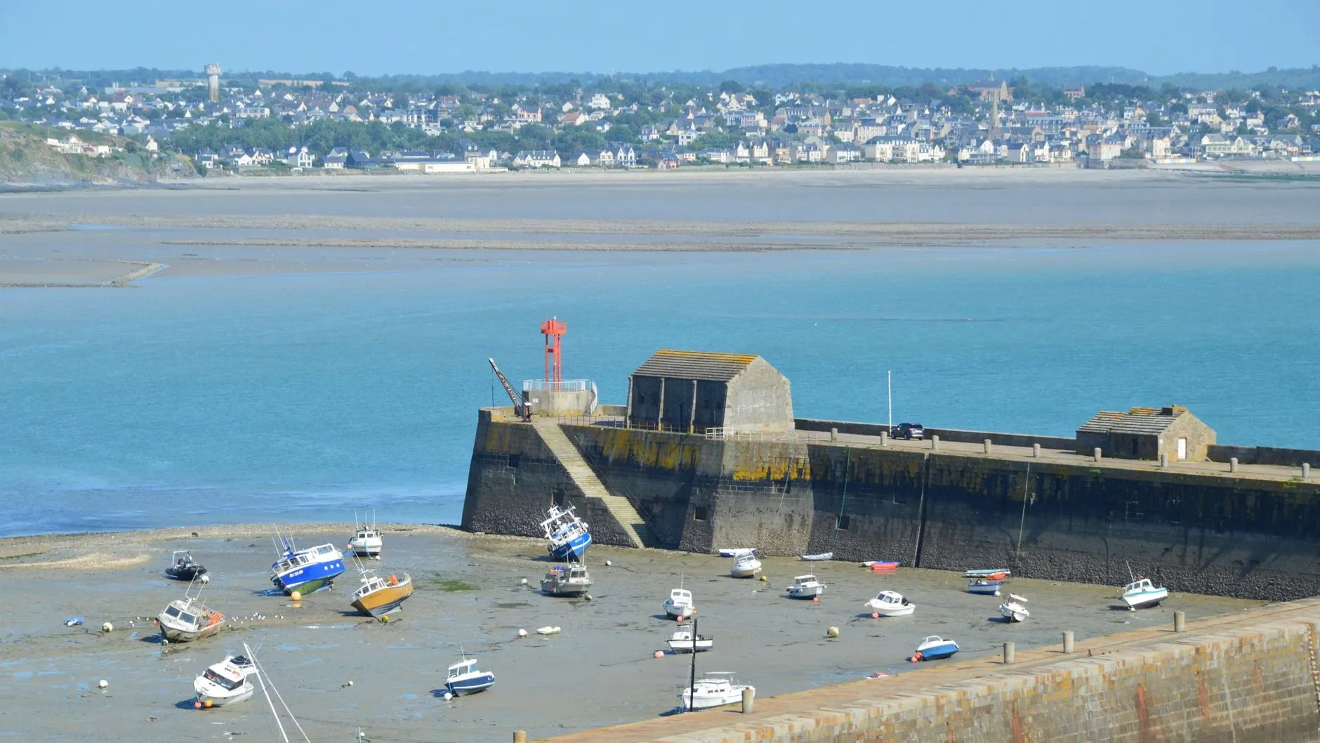
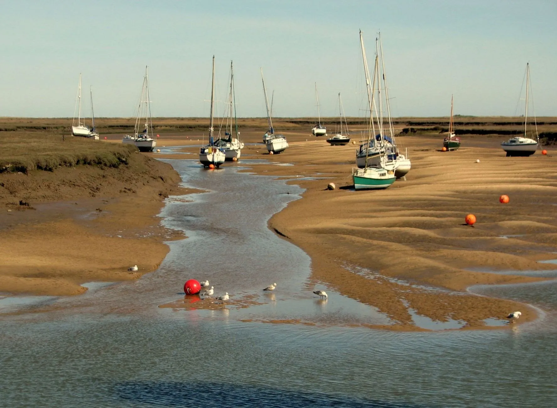
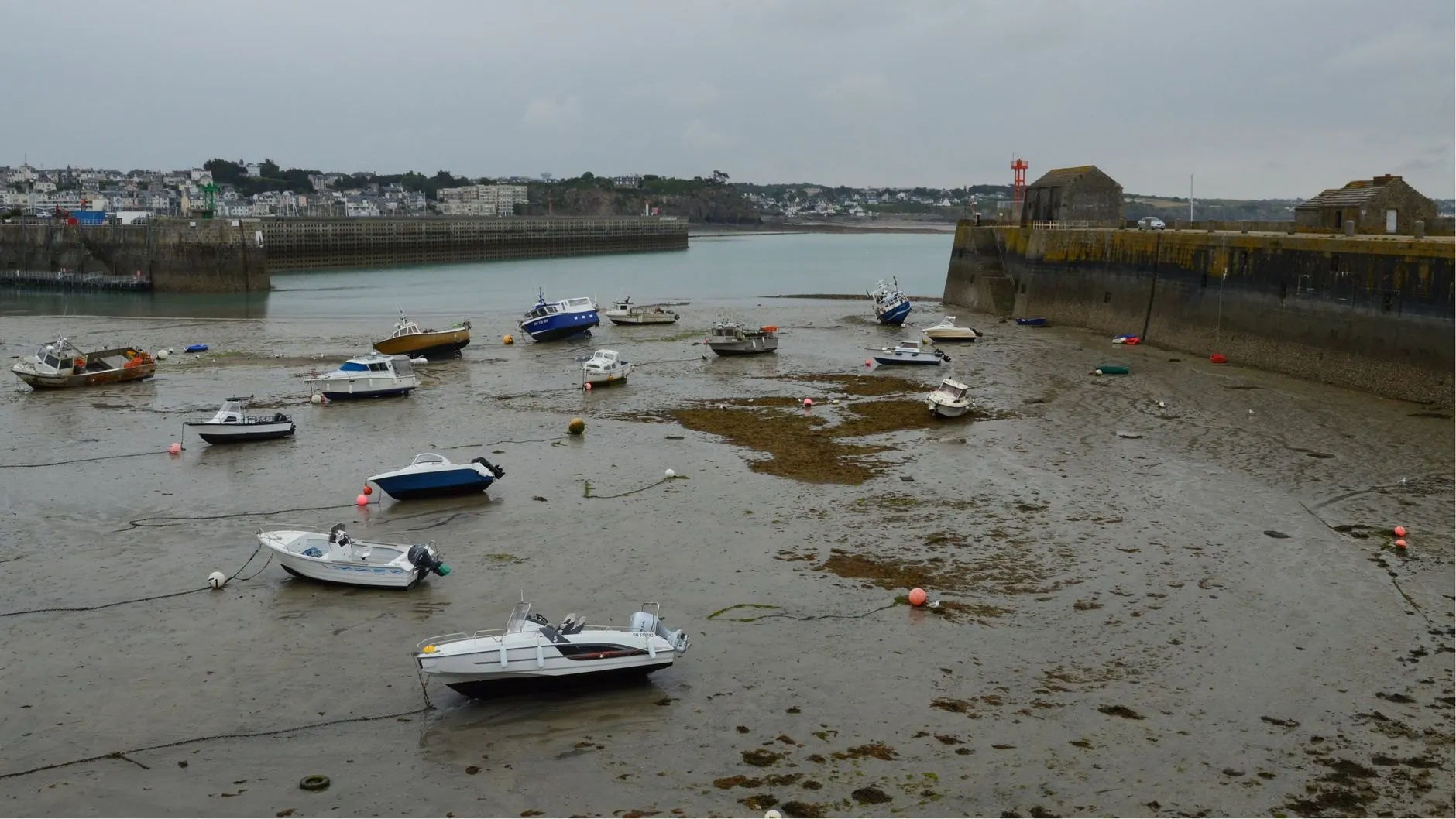
Nethermill Reach sits nine miles inside the river mouth, in a stone basin with soft mud on the bottom and drying banks either side of the channel. By the time the tide gets this far up the estuary it has lost its symmetry: the water comes in fast, in about four hours, and takes eight to go back out.
That lopsided shape is what makes it such a good fishing port. The short, strong flood pushes bait up the channel and the fish follow it, and local anglers time their sessions to the first two hours of the rise.
Nethermill also has the largest error of any port in the app. After heavy rain the river sits on top of the tide at low water, sometimes by more than a metre, and a prediction built from the moon and sun knows nothing about rain. Surge watch flags the worst of it; low-water heights here are best treated as a minimum.
Port facts
- Distance from the sea
- Nine miles up the river mouth
- Flood and ebb
- About 4 hours rising, 8 hours falling
- Gauge
- Basin wall by the old mill steps, since 2014
Carry Nethermill Reach in your pocket
Save it as your home port and get an alert before the water turns.