Station · control
Brindley Dock
Impounded above a sill. There is no tide inside and the predictor says so.
48 hours · height in metres above chart datum · all eight constituents
- Mean spring range
- 0.00 m
- Mean neap range
- 0.00 m
- MHWS
- 4.10 m
- MLWS
- 4.10 m
- Form factor
- —
- Classification
- no tide
Null station. Impounded above a sill: every constituent amplitude is zero and the predictor must return a flat line.
Half-tide lock, level held at 4.10 m by the impounding pumps. The gates open for four hours either side of high water outside.
Every figure in the table below is 0.00 m and the curve above is a straight line at 4.10 m. Nothing about this page is special-cased: it goes through the same synthesis as Halberry Roads, with the same eight cosines, and each of them is being multiplied by zero.
The constituent table
| Id | Constituent | Period, h | Amplitude, m | Phase g |
|---|---|---|---|---|
| M2 | Principal lunar semidiurnal | 12.4206012 | 0.00 | 0° |
| S2 | Principal solar semidiurnal | 12.0000000 | 0.00 | 0° |
| N2 | Larger lunar elliptic semidiurnal | 12.6583475 | 0.00 | 0° |
| K2 | Lunisolar semidiurnal | 11.9672348 | 0.00 | 0° |
| K1 | Lunisolar diurnal | 23.9344697 | 0.00 | 0° |
| O1 | Principal lunar diurnal | 25.8193417 | 0.00 | 0° |
| P1 | Principal solar diurnal | 24.0658902 | 0.00 | 0° |
| M4 | Shallow water overtide of M2 | 6.2103006 | 0.00 | 0° |
High and low water, 48 hours
None. The level does not turn because it does not move. That is the entry, and it is the correct one.
Survey sheet BD/1
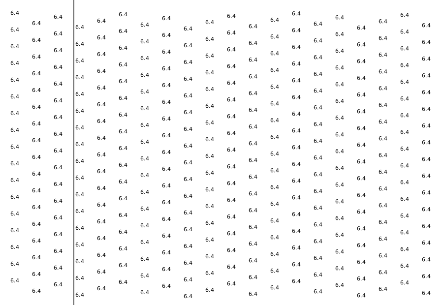
340 soundings on run lines 44 units apart, 0 of them drying heights, deepest 6.4 m. One stroke on the sheet — the coastline — and no depth contours. Why.
Wrackline is an aid to planning and is not a substitute for an official tide table. Do not navigate on it.